Assured-PNT For Land, Air and Sea
Proven. Expansive. Unique.
Why AEVEX Assured PNT
Applications range from PNT for stationary or slowly moving platforms such as Aerostats to PNT for high-dynamic aircraft and everything in between. AEVEX’s proven Assured PNT products are designed to provide critical PNT information under demanding conditions.
- Long heritage in aerospace and defense
- Wide range of proven A-PNT solutions available with both SAASM and Commercial GPS
- Unique A-PNT solutions for Land, Air and Sea applications
- Solutions leveraging the best MEMS, FOG and RLG inertial sensors
- Customizable solutions
What is Assured PNT?
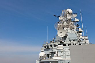
Today’s mission-critical defense applications on Land, Air and at Sea depend on Positioning, Navigation and Timing (PNT) information that is accurate and always available. We call this capability Assured PNT (A-PNT).
The large diversity of Land, Air and Sea platforms requiring A-PNT used in today’s defense systems demand unique and tailored solutions which bring together sensors and emerging technologies in novel ways.
Examples include:
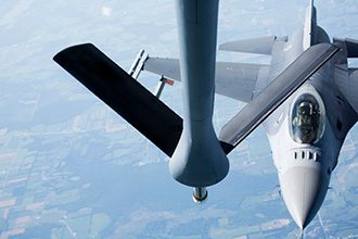
Aerial Refueling
Antenna Pointing

Unmanned Aerial Vehicle Navigation
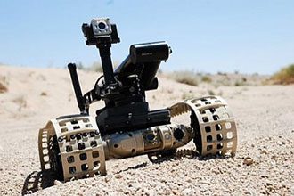
Unmanned Ground Vehicles
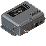
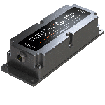
AEVEX’s Assured PNT SAASM & Commercial Products

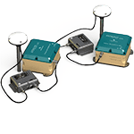
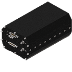
Geo-RelNAV
High-Accuracy, Real-Time Relative Navigation System for use in applications such as autonomous cars and autonomous aerial refueling and shipboard landing.
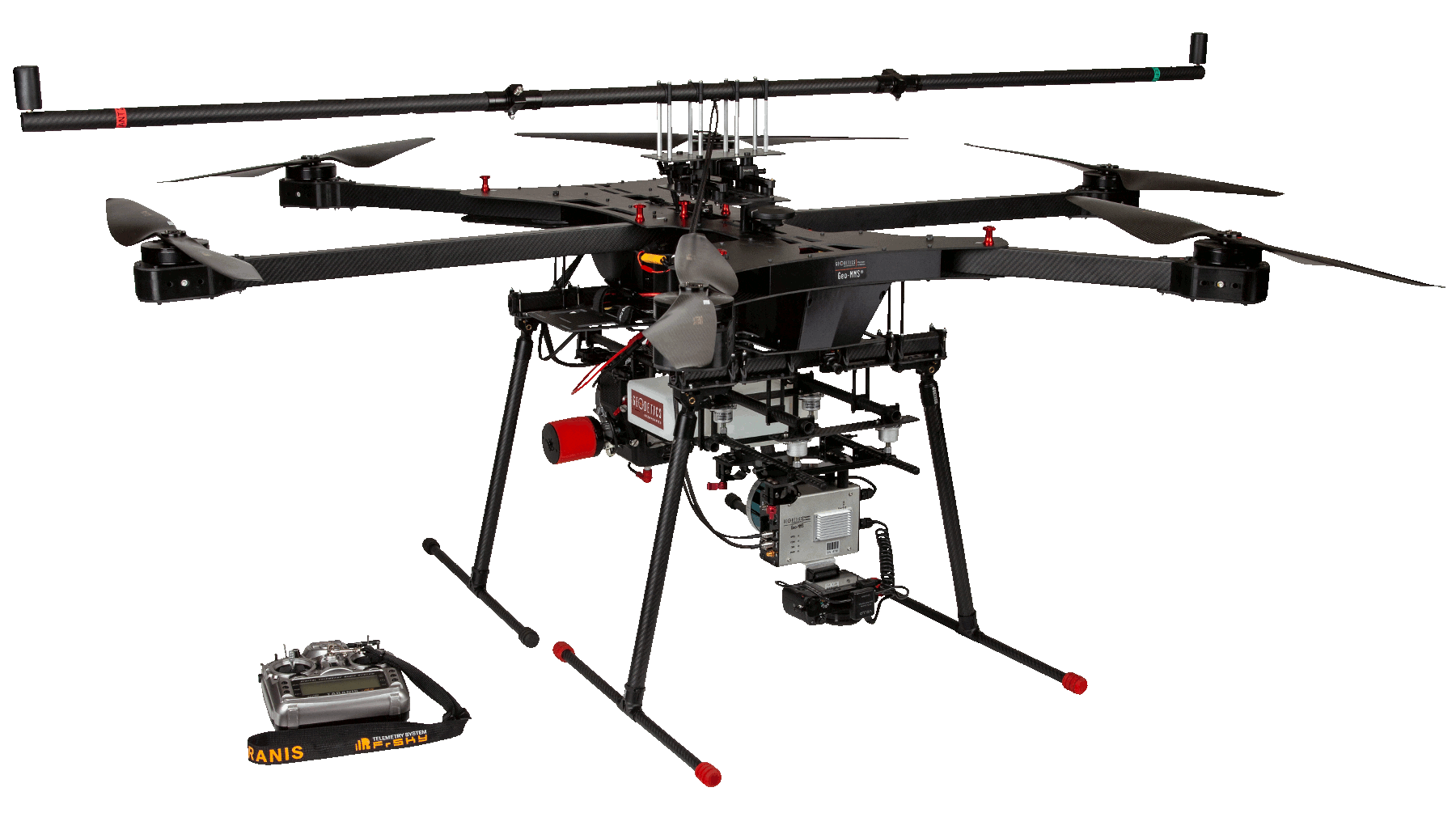
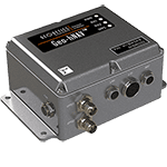
Geo-MMS Defense
All of the industry-leading Geo-MMS capabilities for our Defense customers with heavy-lift U.S. made drones and SAASM/M-Code compliance.